
Article originally featured in the New England Interstate Water Pollution Control Commission (NEIWPCC) LUSTLine, Bulletin 68, June 2011
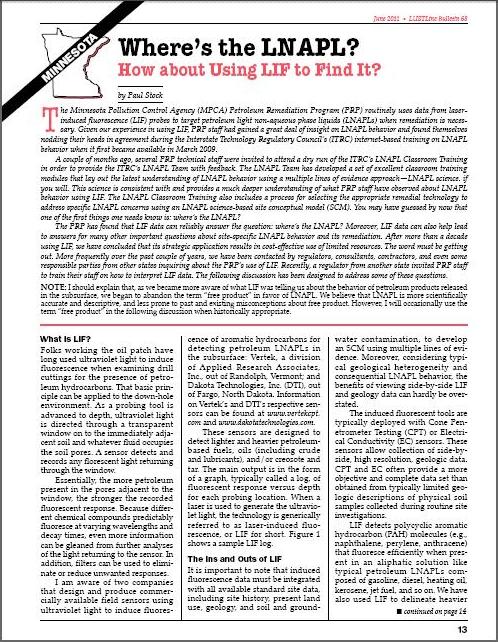
Most recently, the June 2011 issue of LUSTLine featured an article, "Where's the LNAPL? How about Using LIF to Find It?" written by Paul Stock of the Minnesota Pollution Control Agency (MPCA) Petroleum Remediation Program (PRP).
Paul's article provides an educational read on the ins and outs of LIF, the effectiveness of this LNAPL mapping tool, and Minnesota's experience in managing LNAPL risks.
Some key highlights include:
- How Minnesota's PRP routinely uses data from LIF probes to target petroleum LNAPL when remediation is necessary
- ITRC's LNAPL Team which has developed a set of excellent classroom training modules that lay out the latest understanding of LNAPL behavior using a multiple lines of evidence approach
- The importance that LNAPL data must be integrated with all available standard site data, including site history, present land use, geology, and soil and groundwater contamination to develop an LNAPL science-based site conceptual model (SCM)
Click the following link to read the full article, Where's the LNAPL? How about Using LIF to Find It?.
To discuss how LIF technology can be applied at your LNAPL site, please contact Brian McCann at +1-(888) 344-2704 ext. 233.
